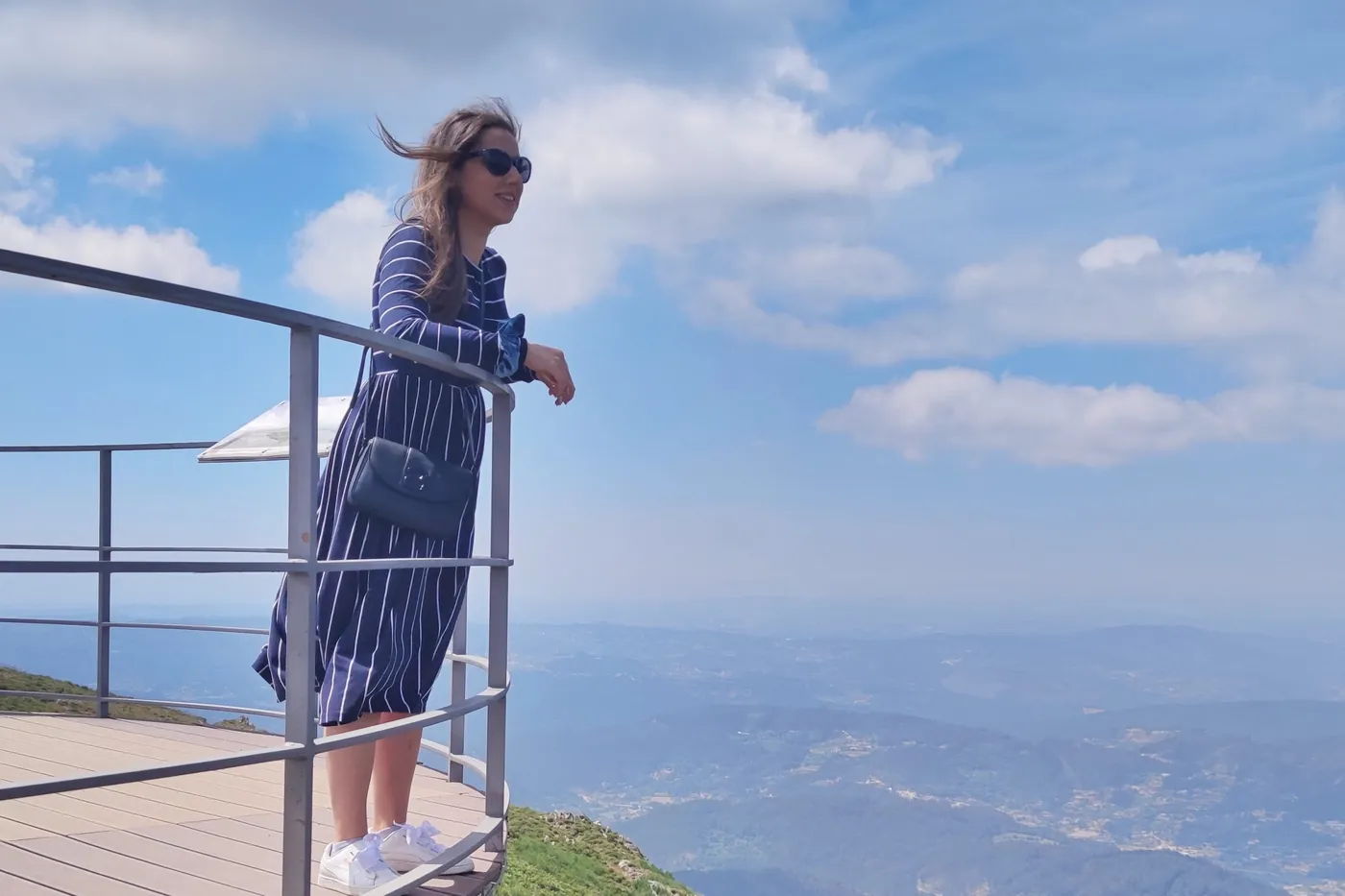
Panoramic view of Detrelo da Malhada
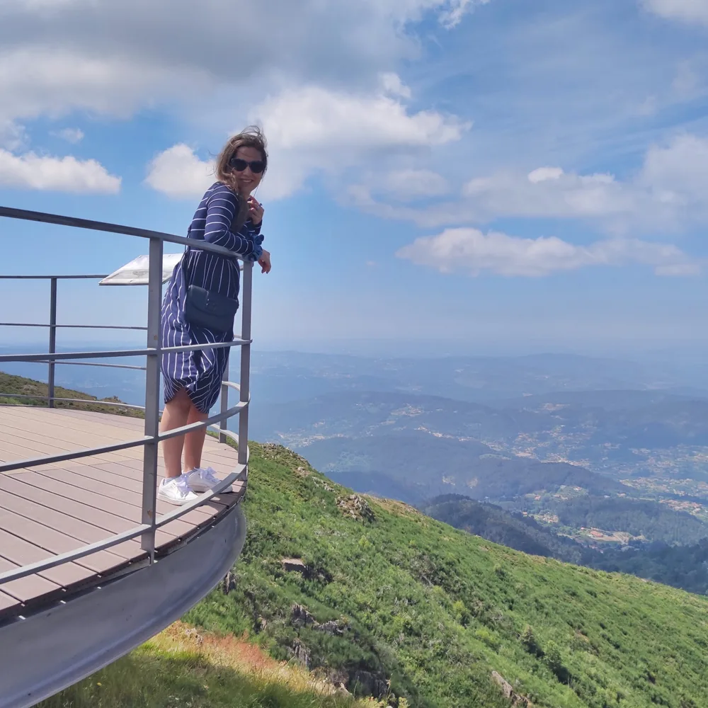
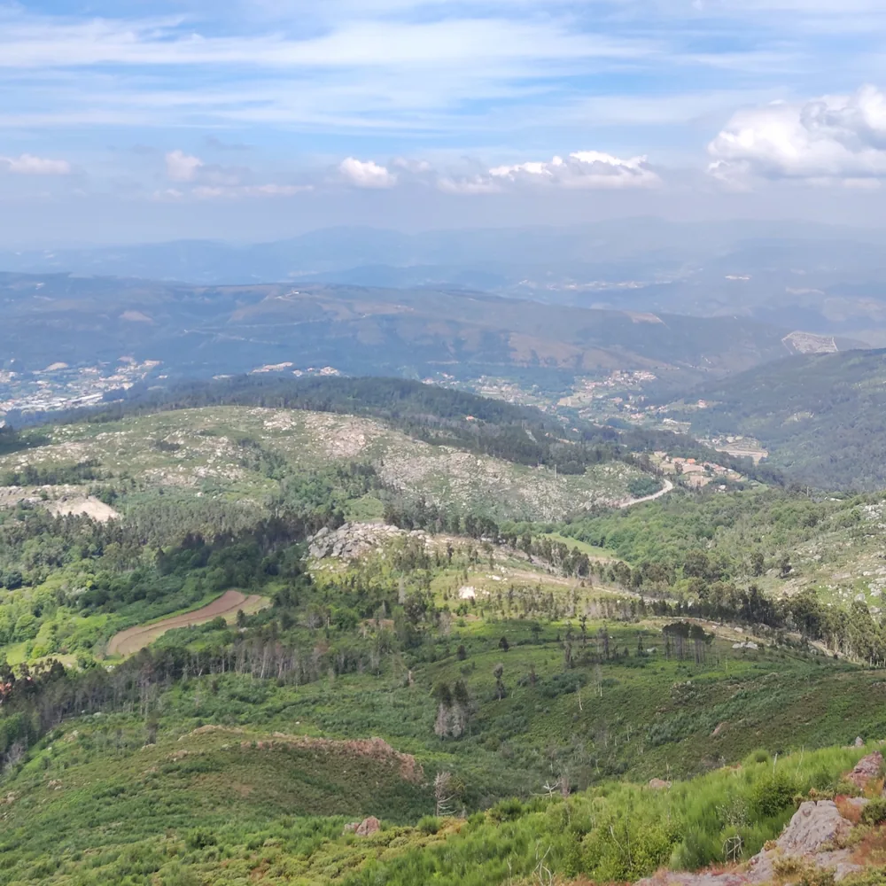
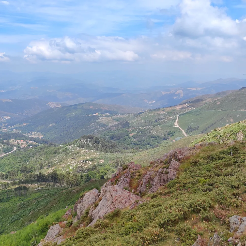
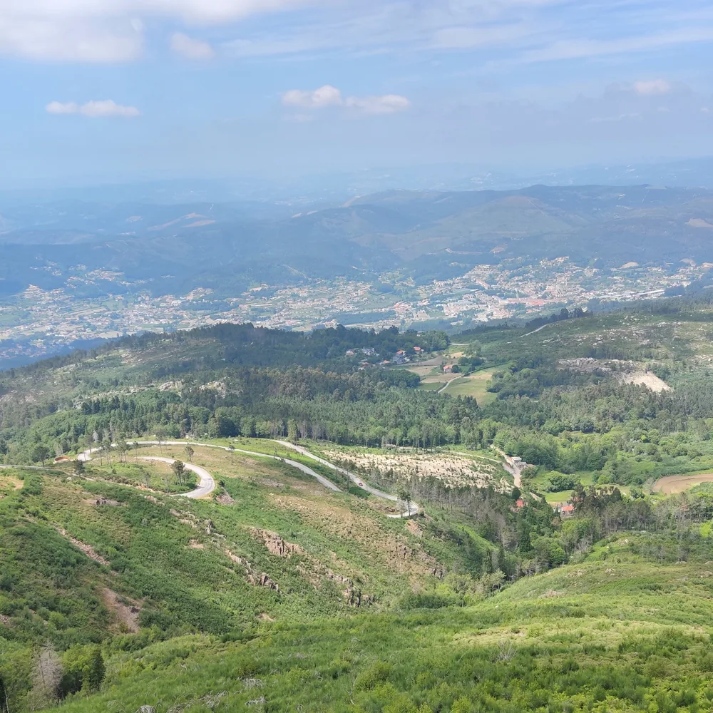
The Panoramic view of Detrelo da Malhada is a viewpoint that has an incredible view of the town of Moldes, in the heart of Serra da Freita inside Arouca GeoPark area 🌳. Created in 2009, the Arouca GeoPark was the second Portuguese geopark. It has an area of more than 320 square kilometers and brings together several attractions. The most noteworthy are the Route of Geosites and the Museum of Trilobites.

How to get there
From the center of Arouca to the Panoramic view of Detrelo da Malhada it’s about 20 minutes by car 🚘 (approximately 13 kilometers). The path to this viewpoint isn’t in the best conditions, dirt roads with several stones and holes. Fortunately there were few cars on the road, so we managed to avoid the obstacles. There is a car park near the viewpoint, also on dirt roads. If the goal is not to get the car dirty with dust, it isn’t a good option to go to this place. 😅
What is possible to observe
Obviously, the view from the viewpoint depends a lot on the weather, but on days without fog the views are breathtaking believe me! Fortunately I was lucky 🍀 and it wasn't foggy. From this viewpoint it’s possible to see the Serra da Freita and the village of Arouca to the north, the Atlantic Ocean to the west, only on clear days, the Côto do Boi (another viewpoint) and the Serra de S. Macário to the east and to the south, the Serra da Freita plateau. To the north it’s possible to observe several mountain ranges in the Valongo and Minho regions. When I got there, I was surprised by the amount of people who were there. I thought it was a less visited place due to its location and difficult access. The viewpoint consists of a suspended platform which doesn’t have a 360 degree view (it has about 180 degrees).
Wind Farm and Watchtower
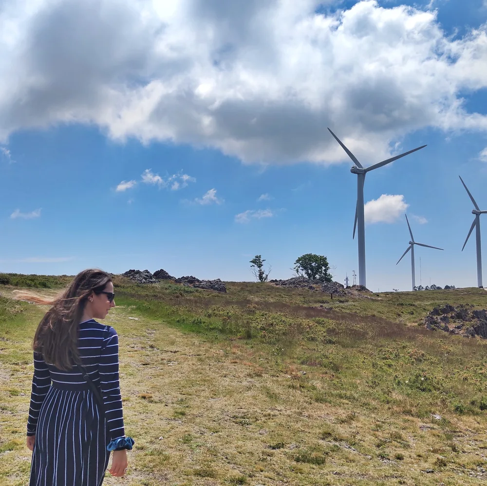
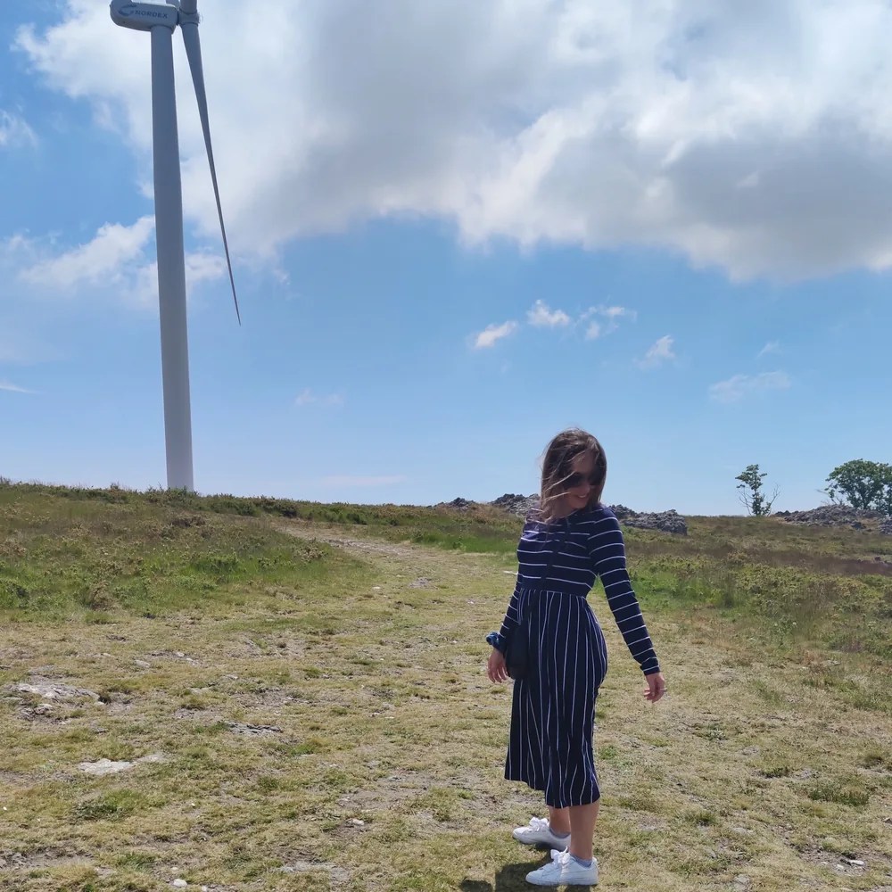
Next to the viewpoint, at the top of Serra da Freita, there is a wind farm since that area is quite windy (at the top of a mountain I would say it is normal 🙈). It was the time I saw a wind farm more closely and I felt tiny. They're gigantic! Also close to the viewpoint is a watchtower that helps fight forest fires 🔥 as it reaches most of the Arouca Geopark area.
The Panoramic view of Detrelo da Malhada is a worth visiting place. If you are close to Arouca be sure to stop by to admire the views.
Are you visiting Arouca and have no ideas of what to do? Click here to read everything about this region. Also follow me on instagram to keep up with new blog posts. It isn’t the ideal time to travel but we can always dream. ❤️
You Might Also Like
5 attractions in Viana do Castelo
Five of the prettiest spots in this traditional Minho city, from a hilltop sanctuary to the famous Berliners and the legend behind its name.
6 places to visit in Vila Franca do Campo
Six spots worth your time in this former Azorean capital, from the islet and viewpoints to those unforgettable Morgado cheesecakes.
8-day itinerary in Azores
My eight-day São Miguel itinerary, day by day, with the trick I used to catch the three main lagoons without a hint of fog.